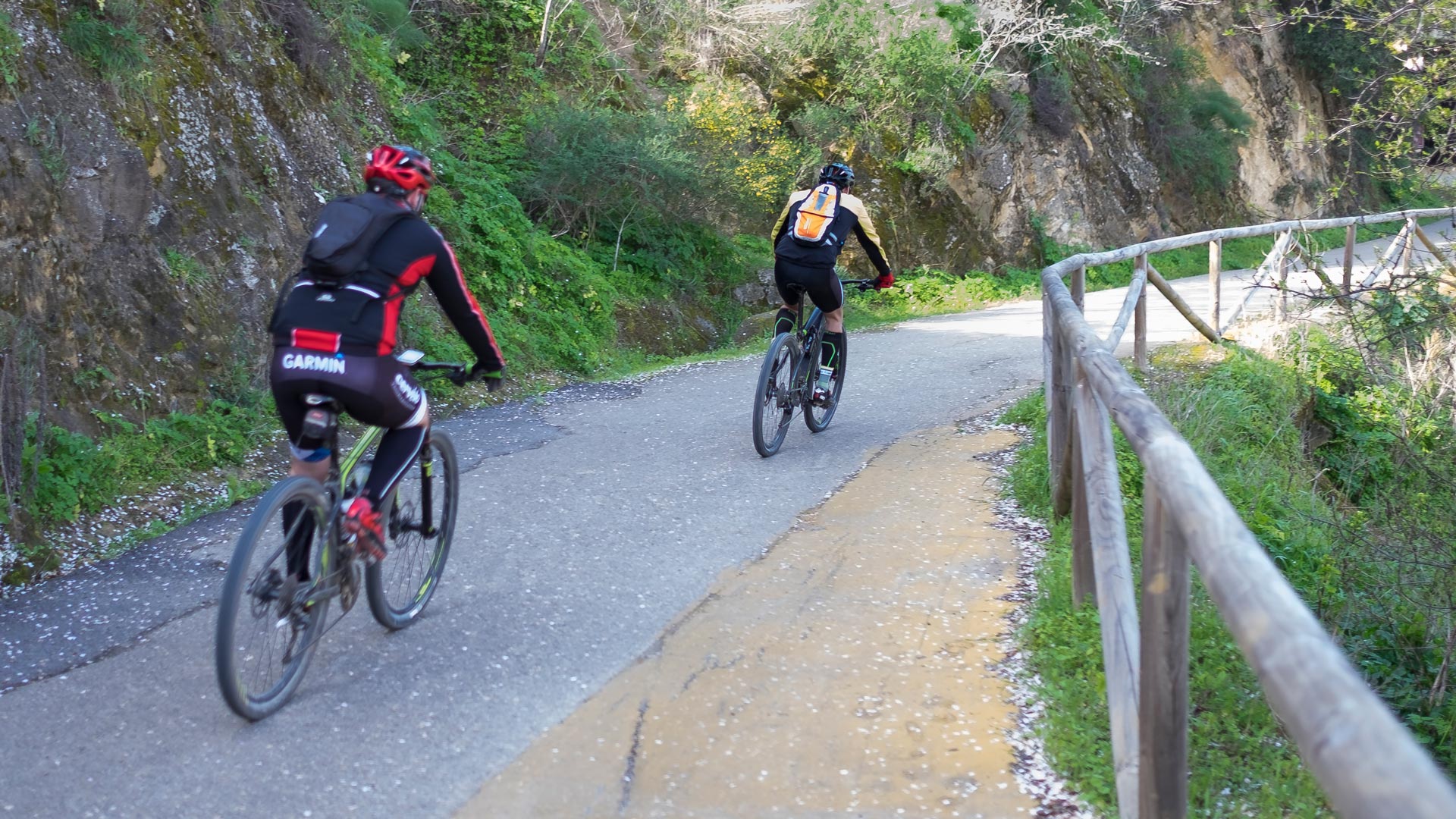
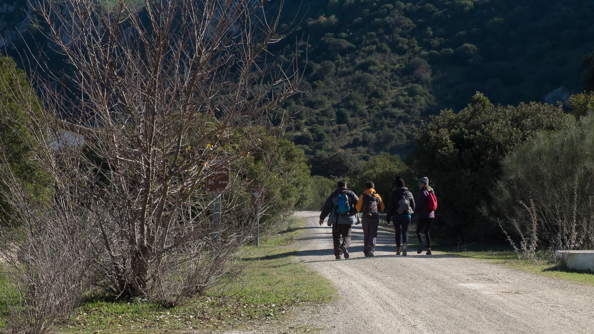
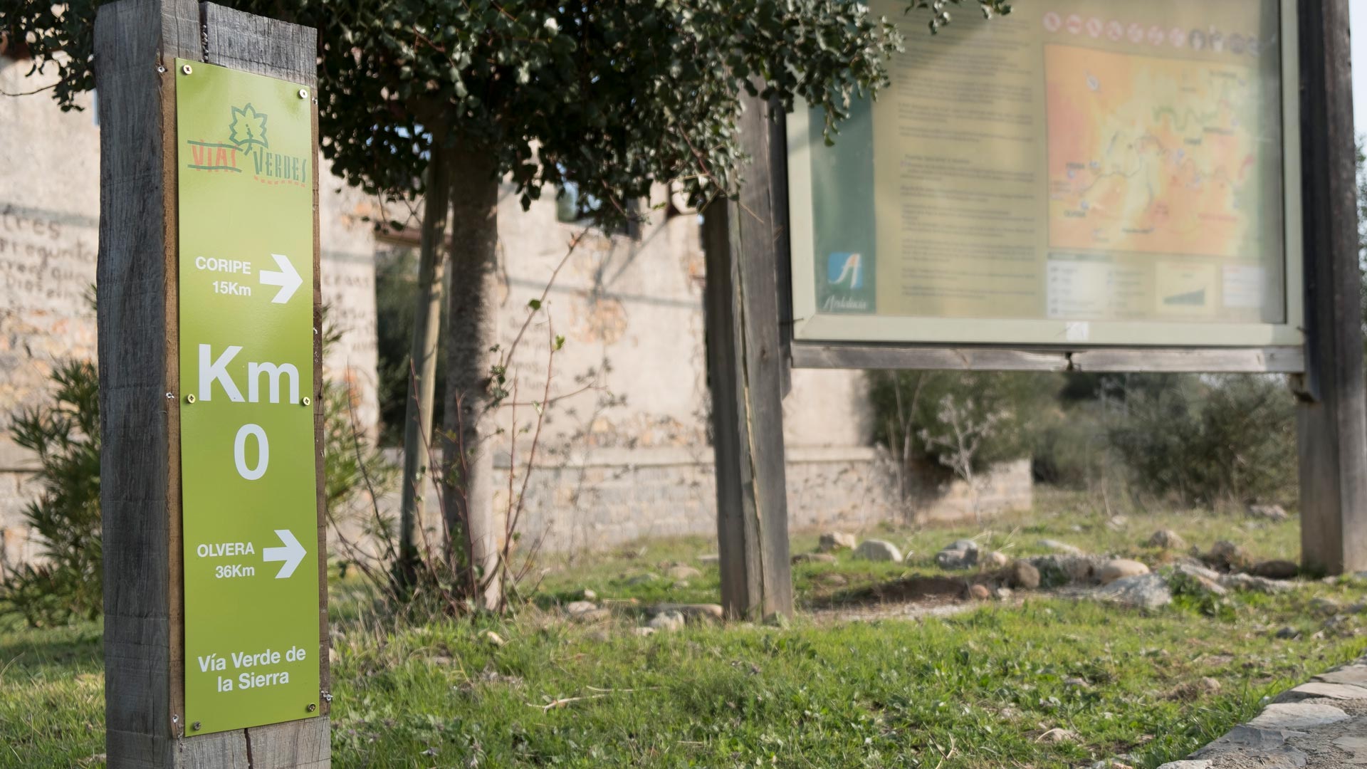
ROUTE
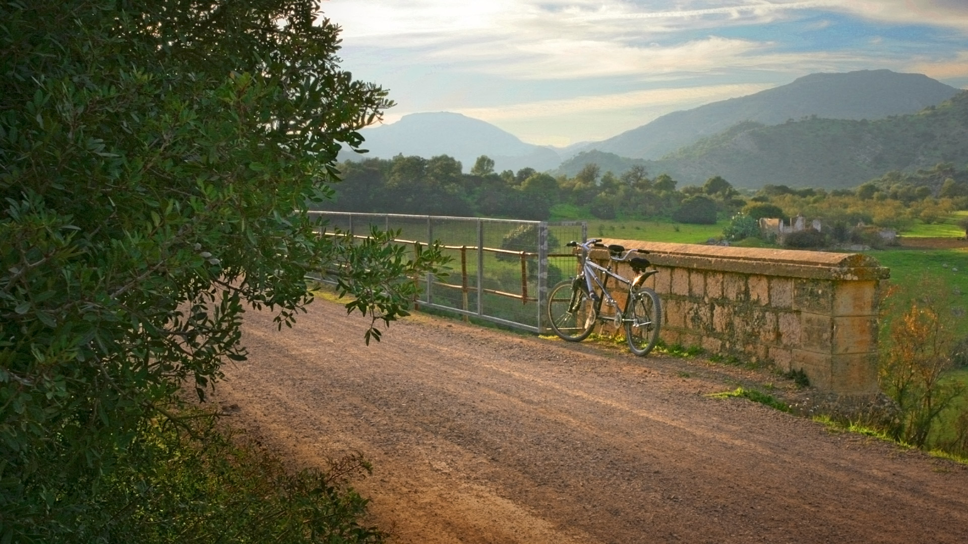
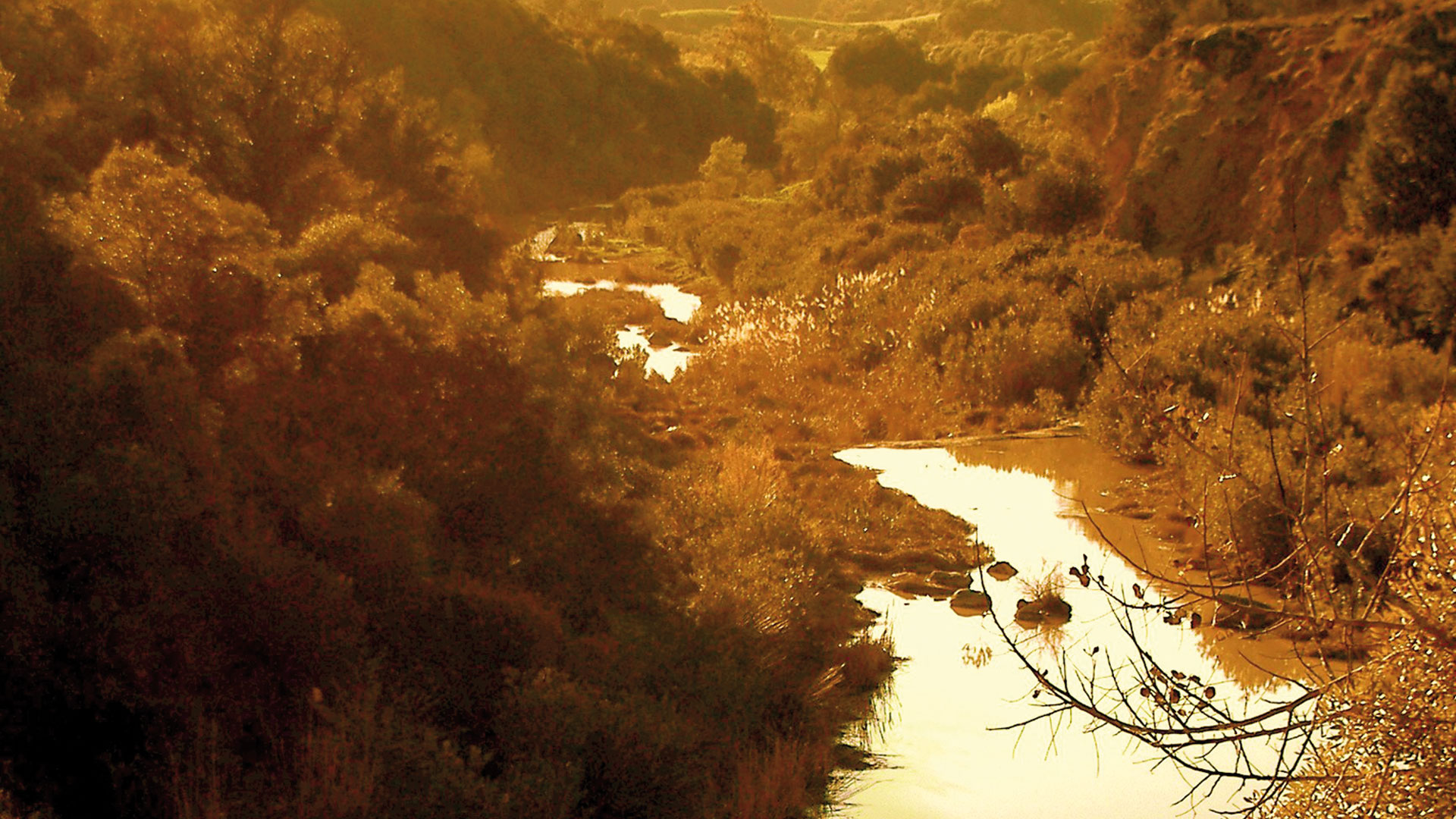
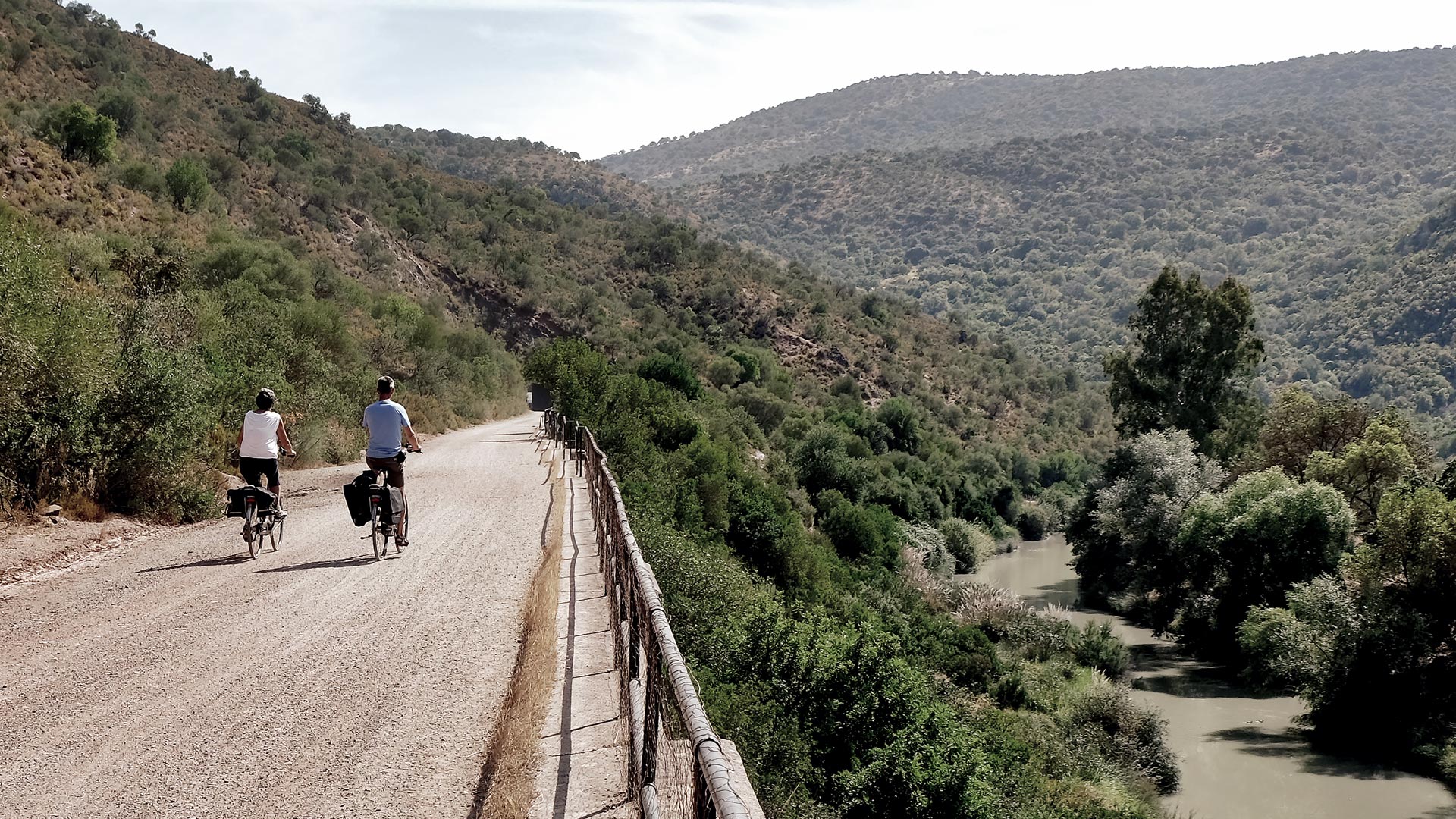
The route begins in the old station of Puerto Serrano, about two kilometers from the town center, where the headquarters of the Foundation is located. We will cross the first of the viaducts, located on the stream of Azares, overlooking the steep canyon, pierced by the Guadalete. Tunnels and viaducts open successively in this first section, in which the old railway infrastructures seem to become a gigantic balcony on the Guadalete River, providing us with some of the most beautiful panoramas of the route. Arriving at the place of the ‘Junta de los Ríos’, the valley opens, so the waters of the Guadalporcún converge with those of the Guadalete, where a small parking lot has been enabled as well as the recreational área ‘La Toleta’. After having built up strength, we cross the viaduct of the stream of ‘Gillete’ to guide us towards the ‘Tunnel of the Castle’.
We arrive at the second station of the route, the station of Coripe, conditioned as hotel-restaurant, another one of the recommended accesses to the route. Next to it we will be surprised by the image of ‘Chaparro de la Vega’, a centuries-old oak declared Natural Monument and carefully preserved. In its surroundings, a rest area with tables, benches, games and car parks has been installed.
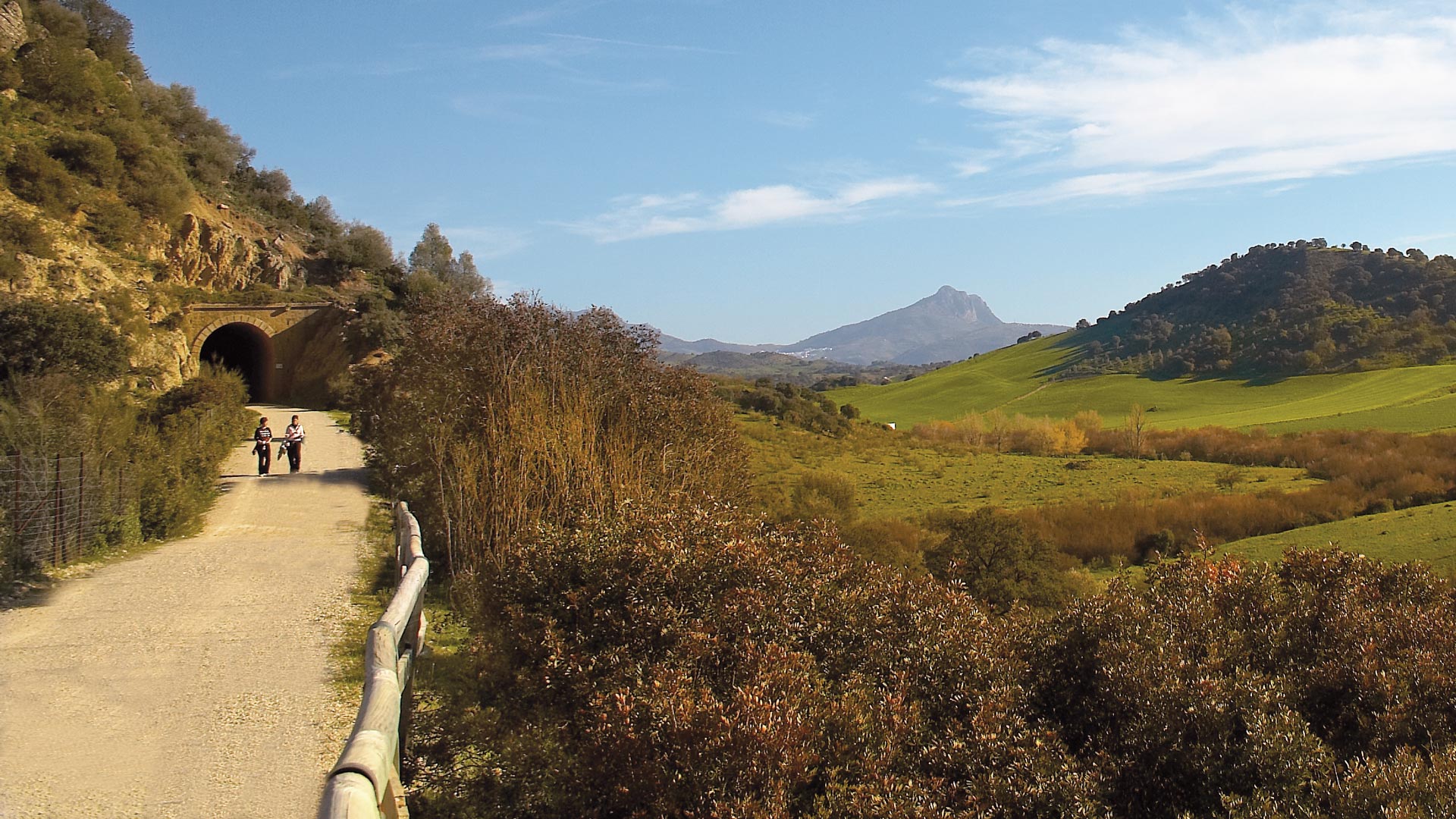
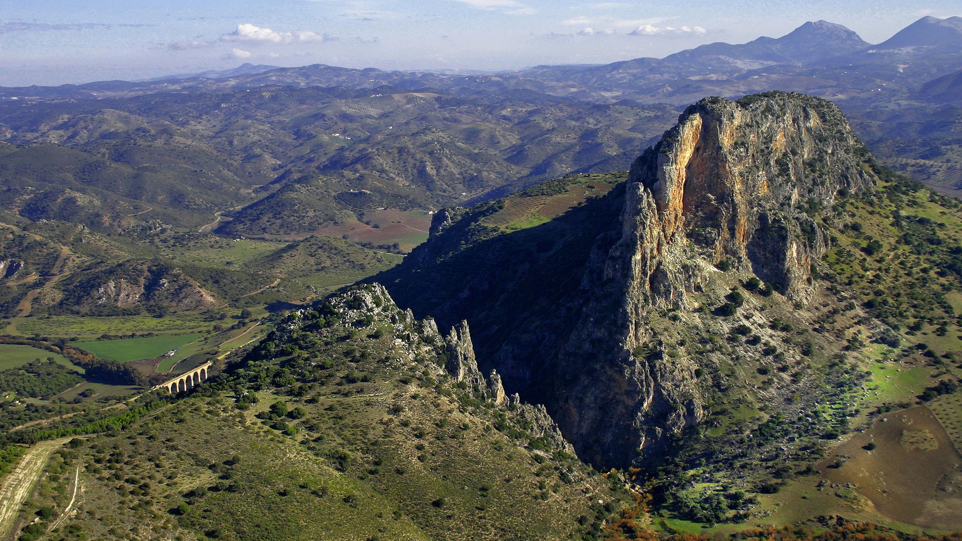
After going through five tunnels, we will be getting closer to the Zaframagón Station, a rehabilitated building and nowadays turned into an interpretation center and ornithological observatory from which, with a camera installed on the Rock, you can observe the griffon vultures closely, one of the largest colonies in Europe. If we continue our route to Olvera, we will find, almost immediately, the viaduct of Zaframagón, from which one can enjoy one of the best views of the Rock of Zaframagón, declared Natural Reserve of Andalusia, with the canyon of the Guadalporcún, known as ‘El Estrechón’. Circumcising the rock we will go into another long tunnel framed within a landscape of prairies with the angular profiles of the ‘Mountain of Líjar’ in the background.
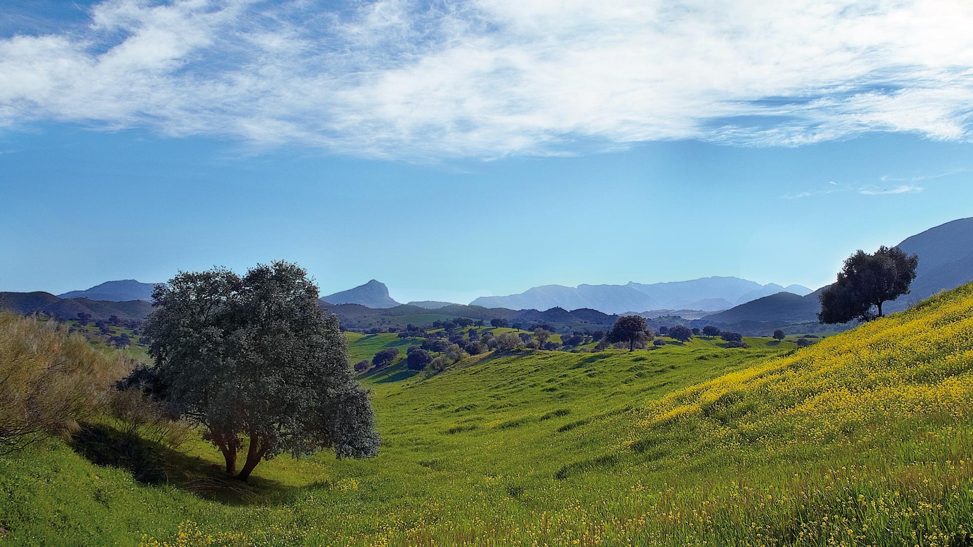
From here, a rosary of tunnels guarded by the basins of the Guadalporcún and Guadamanil rivers will lead us between farms and olive groves to the Navalagrulla Station (the only one without rehabilitation), which has a recreational area. The tunnels will constantly come up until the next singular point, the ‘Colada de Morón’. In 4 kilometers, we will reach the end of our route. We will be at Olvera Station. Four unique train wagons, which take you back to nostalgia, complete the accommodation at this point. Olvera, the end of the road, is a historic-artistic complex and belongs to the Route of the White Villages.
Throughout the route, there are 30 tunnels, the longest one with lights. The longest one is the Coripe Mountain, with 990 meters (Tunnel of the Castle). Four are the viaducts that are in the Sierra Greenway, being the most spectacular one that passes over the Guadalporcún River when it passes through Coripe (237 meters in length).
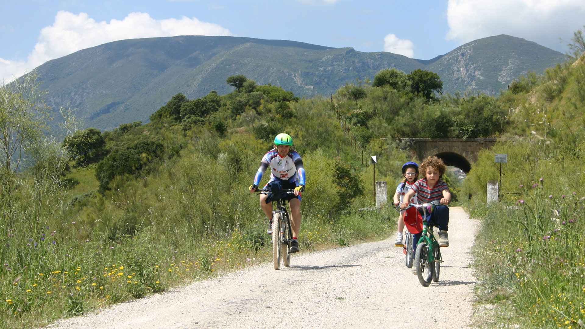
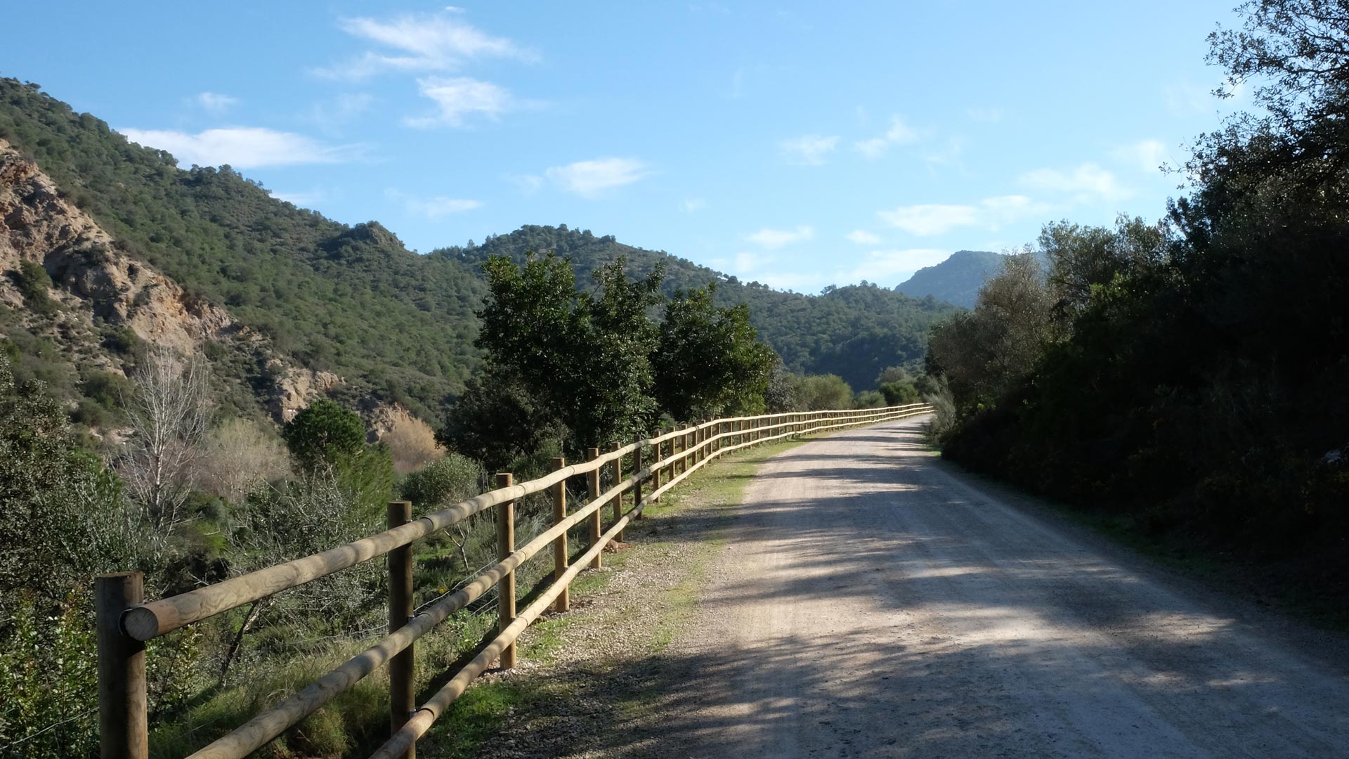
The equipment of the Greenway meets all the needs of the hiker and has points of water supply, information panels, signs, rest areas, donkey and horse handles as well as an information service and guide of the route. In the most attractive enclaves of the route you can find viewpoints, where the visitor will soak up the landscapes of the mountains and a beautiful sunset.